
Reviewed by Josh N · Updated September 13, 2026 · How we verify
Reported Phenomena
- Woman in white
- Cemetery apparition
- Confederate soldier ghosts
- Unexplained lights
- Disembodied footsteps
- Feeling of being watched
Reported by visitors & local legend. Stories, not verified claims.
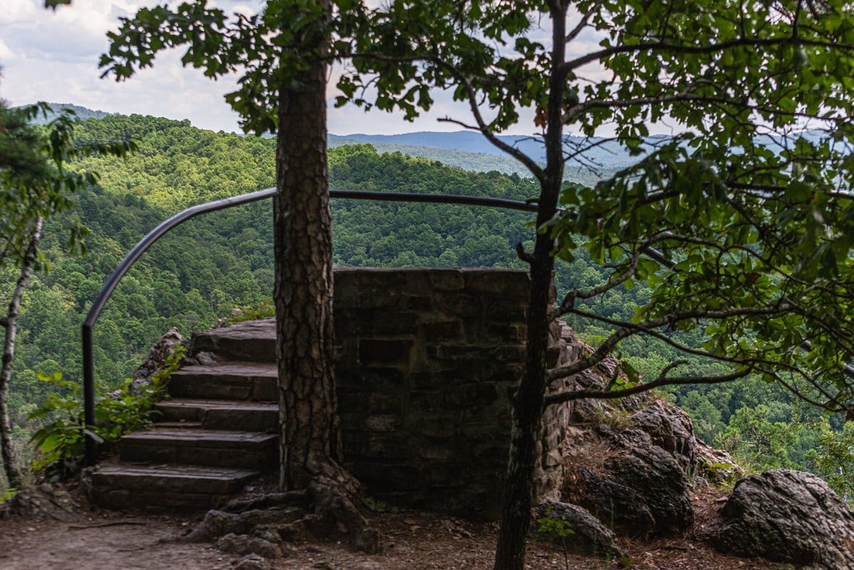
Two parallel walls of sandstone, twenty feet apart, drop down a bluff above the Arkansas River like a staircase cut by a mason. The farming community above them took its name from that formation, and Natural Steps in Arkansas has carried it ever since. What the modern ghost writing rarely mentions is that the steps themselves were partly blown apart in the 1940s by neighbors hunting Confederate gold, and that the community’s most repeated ghost story has two names attached to it, both of which appear in local record.
Quick facts
- Where: Pulaski County, Arkansas, roughly 18 miles northwest of Little Rock on Arkansas Highway 300, along the southern bank of the Arkansas River
- Population: 413 at the 2020 census, in what is now a small farming community with scattered businesses
- The formation: two vertical sandstone walls descending 51 feet from the top of the bank to the low-water mark, and continuing beneath the river
- First described in print: geologist David Dale Owen, 1859
- Natural Steps Cemetery: established September 1, 1861
- Access: the Natural Steps are not open to the public for viewing
The Sandstone Staircase David Dale Owen Sketched in 1859
The steps are a geological accident rather than a ruin. Hard sandstone strata tilted nearly on edge protrude from softer, disintegrated slate, and the result climbs the riverbank in regular treads. David Dale Owen, then Principal Geologist for an assessment ordered by Governor Elias Nelson Conway, examined and sketched them on May 30, 1859 for his Second Report of a Geological Reconnaissance of the Middle and Southern Counties of Arkansas. He measured them at forty feet above the river at that stage of water and fifty-one feet above the low-water mark, and wrote that from a little distance on the river they “have a wonderfully artificial appearance, looking like steps laid by regular masonry.”
They were useful as well as strange. In 1870 Colonel John Navarre Macomb of the Army Corps of Engineers, working with Assistant Engineer S.T. Abert, surveyed the Arkansas River to record low-water depths and features important to river travel, and the Natural Steps were drawn and located on the resulting maps. River runners still use what remains of the formation as a marker today.
Steamboats, Picnickers and the Guns at Palarm
Beginning in 1822, the steps gave Little Rock visitors a convenient place to disembark and start the hike toward the mountain that is now Pinnacle Mountain State Park. The bank offered water deep enough for convenient docking and a population large enough to supply passengers and cargo, and by 1849 the Arkansas Gazette was reporting fifteen to twenty steamboat arrivals and departures a week.
Excursions were a local institution. On May 19, 1878, the Gazette described a church outing that had steamed roughly thirty miles up from Little Rock aboard the Maumelle, landed at Natural Steps, picnicked in the shady groves and then climbed the steps: “such getting up stairs you never did see.” The most elaborate gathering came two years earlier. On June 28, 1876, the combined memberships of the Western Star, Magnolia and Mary Williams Masonic lodges arrived by steamboat for a joint installation. A century later, on June 27, 1976, the same three lodges returned by boat and car, repeated the ceremony and buried a time capsule meant to be opened in another hundred years. A granite monument bearing the names of the worshipful masters marks the site.
Not every landing was festive. On May 8, 1874, during the Brooks-Baxter War, the stern-wheel steamboat Hallie stopped at Natural Steps to take on fuel wood and then continued upstream. Near Palarm, the small community on the opposite bank, a heavy volley was fired at the boat from behind rocks. The shooting lasted ten to fifteen minutes, a stray bullet cut the supply pipe between boiler and engine, and the powerless Hallie drifted downriver and lodged on the far shore. The captain, a pilot and one rifleman were killed, with several more wounded.
The Sunken Gunboat and the Dynamite of the 1940s
The treasure story is the oldest piece of folklore attached to the place, and it is the one that did measurable damage. Local legend holds that a Confederate gunboat was deliberately sunk near the Natural Steps so that the Union Army, which had just taken Little Rock, could not seize the gold aboard. The steps would serve as an unmistakable marker, and the Confederates would come back for it later. Three Confederate soldiers are said to have died in the explosion that sank the boat, and are buried in the Natural Steps Cemetery.
One detail kept the story alive. In the late nineteenth century a local man waiting to catch a steamboat at the foot of the steps found a five dollar gold piece. That single coin, whatever its actual origin, was enough that in the 1940s residents began dynamiting the formation to get at whatever lay beneath the stones. No gold was ever found. The steps were partially destroyed.
A second legend is thinner but still repeated. Bart Moreland Sr., born in Natural Steps in 1899, said the old story was that Jesse James and his gang spent a night in the community and robbed a stagecoach at Benton the following day, on the road to Hot Springs. Asked who told him, he named his parents among several. The cabin James was supposed to have slept in no longer exists, and no record confirms the visit.
Martha Sanders and the Woman in White
The ghost story that locals actually tell is specific, and it has a route. On the darkest nights of late October, a woman in white is said to appear in the northeast section of the Natural Steps Cemetery, on the ground where the old Natural Steps Baptist Church stood before it burned. She moves north into the woods toward the river, reaches the steps, walks down them into the Arkansas River, and is not seen again.
The name given to her is Martha Sanders. According to the local account, she and Gustavus Sanders chose to marry at their favorite meeting place, at the top of the Natural Steps overlooking the river. The marriage lasted days. Gustavus Sanders died in October 1880 of an unknown disease that took many lives in the small community, and was buried behind the old wooden church. After the funeral Martha disappeared, never seen again by family or friends, and the community concluded she had gone off the steps into the river.
That is legend rather than documented fact. The disease and the death are presented in local history as real, but nothing in the record establishes how Martha Sanders died or where she went. What can be said is that the setting has kept changing around the story: the Natural Steps Baptist Church was established in 1913 beside the cemetery and burned in 1962, and the older Methodist church nearby, first deeded in December 1884 and originally called Shady Grove, burned twice, the second time in the late 1940s when a spark from a volunteer clean-up fire at the cemetery landed on its roof. The woman in white is said to begin her walk on ground that has been burned over more than once.
What Visitors Report at the Steps
Beyond the woman in white, the reported phenomena are mostly unattributed. Popular ghost writing about the site claims the three Confederate soldiers still keep watch over their sunken gold, and describes strange lights, unexplained sounds, a persistent sense of being watched, and whispers or footsteps that seem to follow people through the woods. None of those accounts come with a named witness, a date or a location precise enough to check, and the nickname sometimes applied to the area, the “Bermuda Triangle of Arkansas,” has no documented origin. Treat them as atmosphere rather than evidence.
The woman in white is different only in that she belongs to the community rather than to the internet. She has been seen by a few people locally, and the older generations still tell the story of Gustavus and Martha Sanders. That is the honest limit of what is claimed.
Visiting Natural Steps and Pinnacle Mountain State Park
The single most important thing to know before driving out from Little Rock: the Natural Steps are not open to the public for viewing. The formation sits on private ground above the river, it was partly destroyed by dynamite in the 1940s, and there is no trail, overlook or parking area for it. The Natural Steps Cemetery is an active community burial ground and should be treated as one.
What is open is the country around it. Pinnacle Mountain State Park, established in 1973, lies just south of Natural Steps on Arkansas Highway 300 and covers roughly 2,000 acres, with the 1,011-foot cone of Pinnacle Mountain rising steeply above the Arkansas River Valley. It is a day-use park with an emphasis on preservation rather than development, and the gates close one hour after sunset. There are eight hiking trails, from the paved half-mile Kingfisher trail to the two-mile Rocky Valley trail, plus picnic sites, boat ramps, overlooks and a visitor center above the river. The 223-mile Ouachita National Recreation Trail starts at that visitor center and runs west to Talimena State Park in southeastern Oklahoma.
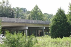
One more relic is reachable on foot. A one-lane truss bridge built in the 1920s to carry the old route of Arkansas Highway 300 across the Little Maumelle River still stands in the shadow of Pinnacle Mountain, made obsolete by a replacement bridge in 1981. It is now open to pedestrians for fishing and forms part of the Ouachita National Recreation Trail. Go for the river, the mountain and the history of a steamboat landing that has almost entirely vanished. The ghost is local property, and the steps themselves are best appreciated from the water, the way Owen saw them in 1859.
See Natural Steps for Yourself
Sources
- 2020 U.S. Gazetteer Files (Census (official))
- Natural Steps CDP, Arkansas (Census (official))
- Decennial Census of Population and Housing by Decades (US Census Bureau)
- Second Report of a Geological Reconnaissance of the Middle and Southern Counties of Arkansas
- School Zone Map
- Wikipedia: Natural Steps, Arkansas
Frequently Asked Questions
Can you visit Natural Steps?
Natural Steps is on private property and best viewed from a distance. Always follow posted rules and respect private property.
Reader sightings
Nobody has reported anything here yet. If you have been, you would be the first.
Report your own visit to Dynamite, Gold and a Woman in White: Natural Steps in Arkansas
How haunted is this place?
Be the first to rate

Leave a Reply